
 |
||
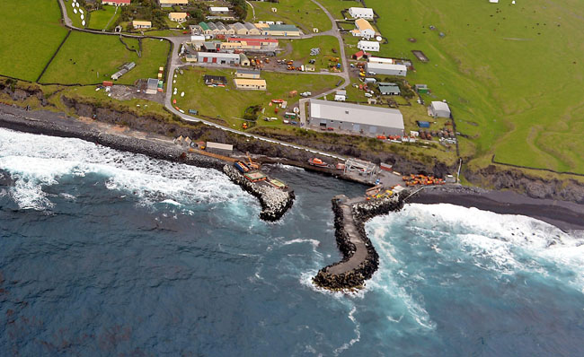
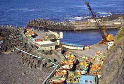
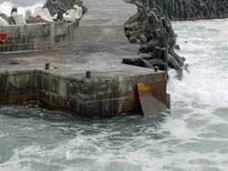
| Calshot Harbour featured in an image taken from the helicopter of HMS Richmond on 31st October 2013 Puma Road is the access road which connects the harbour to the village. The fishing factory is the large grey building sited overlooking the harbour. |
||
|
Calshot Harbour (named after the Hampshire village which housed Tristanians between 1962-3 after the enforced evacuation following the volcanic eruption), was first opened in 1967. It cannot accommodate any ocean-going vessels or yachts, which must anchor some distance off the coast. Local craft or tenders ferry passengers and cargo to and from the harbour. However, the weather is only good enough 70 days a year to allow safe harbour traffic. The harbour is 40 metres at the widest section and the two quays are 25 metres long, to the entrance of the harbour, which is 11 metres wide. The west breakwater is 50 metres in length, and the east breakwater is 15 metres long. The harbour is dredged to a depth of 2 metres. The anchorage off the settlement is 15 fathoms (c.27 metres) deep. |
History of the Harbour |
|
 |
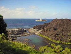
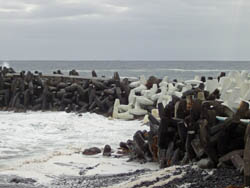
Left: Big Beach Right: Anchorage |
 |
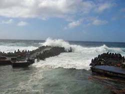
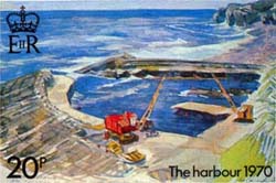 |
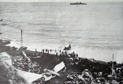
Left: 1970 Harbour Right: Wave Attack |
 |
 |
Left: Modern Harbour Right: New Site Rejected |
 |
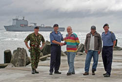
Operation Zest16,000 tonne RFA Lyme Bay transported a joint services Task Force in 2008 to carry out extensive harbour reinforcements thought to have cost £7m. |
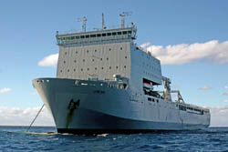 |
Left: RFA Lyme Bay at anchor off Tristan Right: Vehicles & Equipment coming ashore |
 |
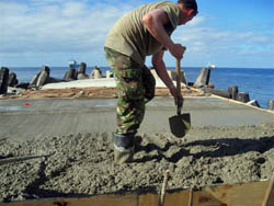 |
Left: Laying concrete on the Western Breakwater Right: Task Force commanders with Administrator David Morley and Chief Islander Conrad Glass on completion of the work. |
 |
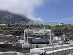
Crane Replacement |
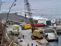 |
Tristan's old heavy-duty crane collapsed on 11th April 2008.
Photos show: Left: The old crane in use Right: The new crane after commissioning in January 2009 |
 |
2009 Strengthening Work |
 |
Further strengthening work was carried out on the harbour in 2009 Photos show: Left: Repairs to the nib Right: New white dolosse placed outside the harbour walls |
 |